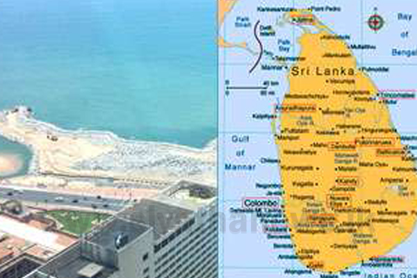
Sri Lanka will launch a new map by March following changes made to Sri Lanka’s shoreline due to projects such as the Colombo Port City and the Hambantota Port in southern Sri Lanka, the Survey Department said on Wednesday.
P.M.P Udayakantha, Surveyor General from the Sri Lanka Survey Department, told Xinhua that the Survey Department had finished the compilation of the new map series of the island country following developmental changes made within the past five years.
He said the Colombo Port City Project, the Hambantota Port project and the construction of the Moragahakanda reservoir were the main reasons for the changes made to Sri Lanka’s coastline and land extent.
He said highways and other development projects constructed within the past five years were also included in the new map.
“This new map series was compiled with the help of satellite images. The previous map series was compiled with the help of aerial photographs.
This time we used high resolution satellite images to acquire the changes and develop this new map series,” Udayakantha said.
The printed series of new map will be released by the end of March, he added.


