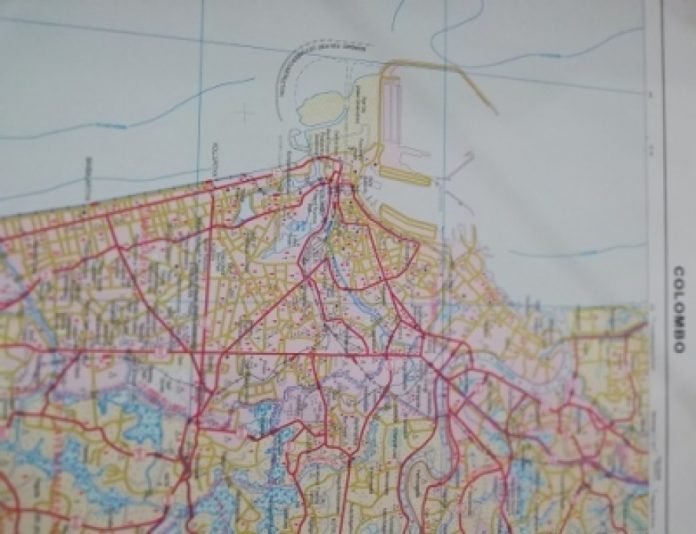
urvey General of Sri Lanka P.M.P. Udayakantha presented the new map of Sri Lanka’s capital city of Colombo to the Minister of Lands and Parliamentary Reforms Gayantha Karunathilaka yesterday (31st May)
The Survey Department launched the 2nd edition of Topographical Map of Sri Lanka, sheet 66 (Colombo) at a ceremony held at the Surveyor Generals’ Office in Narahenpita.
At the event, Survey General Udayakantha said, according to the new map which includes the information on Colombo Port City, expressways, and other development projects, area of the capital city has been increased by 474.5 hectares.
Survey General said preparation of a new map of Sri Lanka commenced in 2015 and the work on 72 sections out of the 92 total have been completed. The work on the remaining 20 sections are being completed and the complete map will be released by the end of this year, he said.
Speaking at the event Lands and Parliamentary Reforms Minister Gayantha Karunathilake said before the work of any development takes place, the surveyor is the first person to develop the land and make plans for it and therefore, the silent service rendered by the Survey Department must be appreciated.
Secretary, Ministry of Land & Parliamentary Reforms, W. H. Karunaratne and senior officials of the Survey Department participated in the function.


